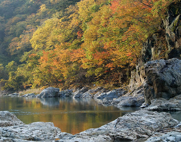
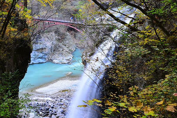
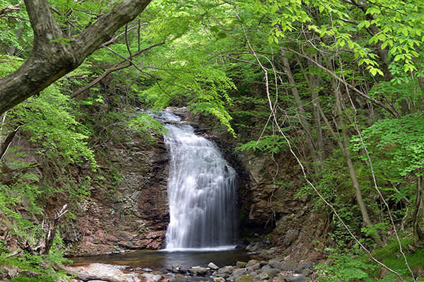
The deep, rugged Ryuokyo Valley was carved out of rock formed by an undersea volcanic eruption some 22 million years ago. The rock was thrust from the sea, then eroded over many millennia by the water and tumbling stones of the Kinugawa River. Ryuokyo got its name—“Dragon King”—from the river’s twisting route among the rocks, said to resemble the figure of an ascending dragon. A nature trail follows the gorge for six kilometers (about a three-hour walk) from Ryuokyo Station to the Kawaji Onsen hot springs, though the scenic highlights are mostly located on the course suggested here—the two kilometers of the lower part of the gorge. Three distinct geological phenomena can be observed even on this short hike. The rocks of the upstream section are largely purplish andesite, created in the early stages of the eruption. The middle section rocks are primarily green tuff, formed when hot ash from volcanic vents fused with various rock fragments. The rocks of the downstream section are mostly rhyolite, a silica-rich volcanic rock with a fine, almost glassy grain that appears white. Each of these sections features dramatic and unusual rock formations created from erosion and collapses of the mountain slopes.

The Trail
This section of the trail begins from Ryuokyo Station, next to the large monument just off the parking lot, and ends at Shiraiwa (White Rock), a bend in the river upstream. The trail is generally easy. There are ups and downs as the route follows the banks of the gorge, but it is fairly flat and is hikeable in good weather even by beginners. The most strenuous section is the uphill climb to the road at Shiraiwa. A trail hut with benches and toilets is located about halfway along the trail, soon after the Musasabi (Flying Squirrel) Suspension Bridge.


